The Isle of Man is only 33 miles long and barely 13 across, but its coast does not behave like a small island's coast should. It folds, doubles back, drops away into hidden coves and rises into headlands you can see from half the island. Stand on Snaefell on a clear day and you can pick out Scotland, Ireland, England and Wales. Stand at the bottom of one of the coves and you might forget any of them exist.
What follows is not exhaustive. The Manx coast rewards repeat visits because every cove has a different mood depending on tide, season and the direction of the wind. But these are the stretches I find myself sending people to first.
The South: Niarbyl and the Old Manx Houses
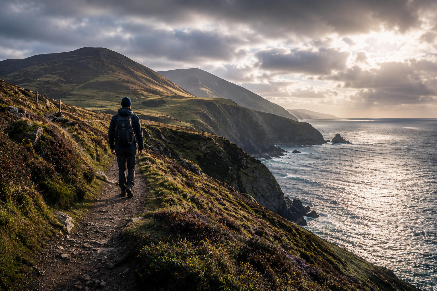
Niarbyl is the obvious starting point, and the photographers found it long ago. A row of thatched cottages at the head of a small inlet, a curving beach of dark pebbles, the cliffs of the Sloc rising behind. What gets less attention is the path that runs south from there along the cliff edge towards Fleshwick Bay. It is steep in places, never crowded, and the light at six in the evening in late spring is the kind of thing that ruins you for other British coasts.
The route is part of the Raad ny Foillan — the Way of the Gull — and a few hours' walking will take you past sea stacks, a couple of small mineshafts left from the island's lead-mining past, and at least one stretch where you can scramble down to a beach that has no name on any modern map.
The North: Maughold Head and the Lonan Coast
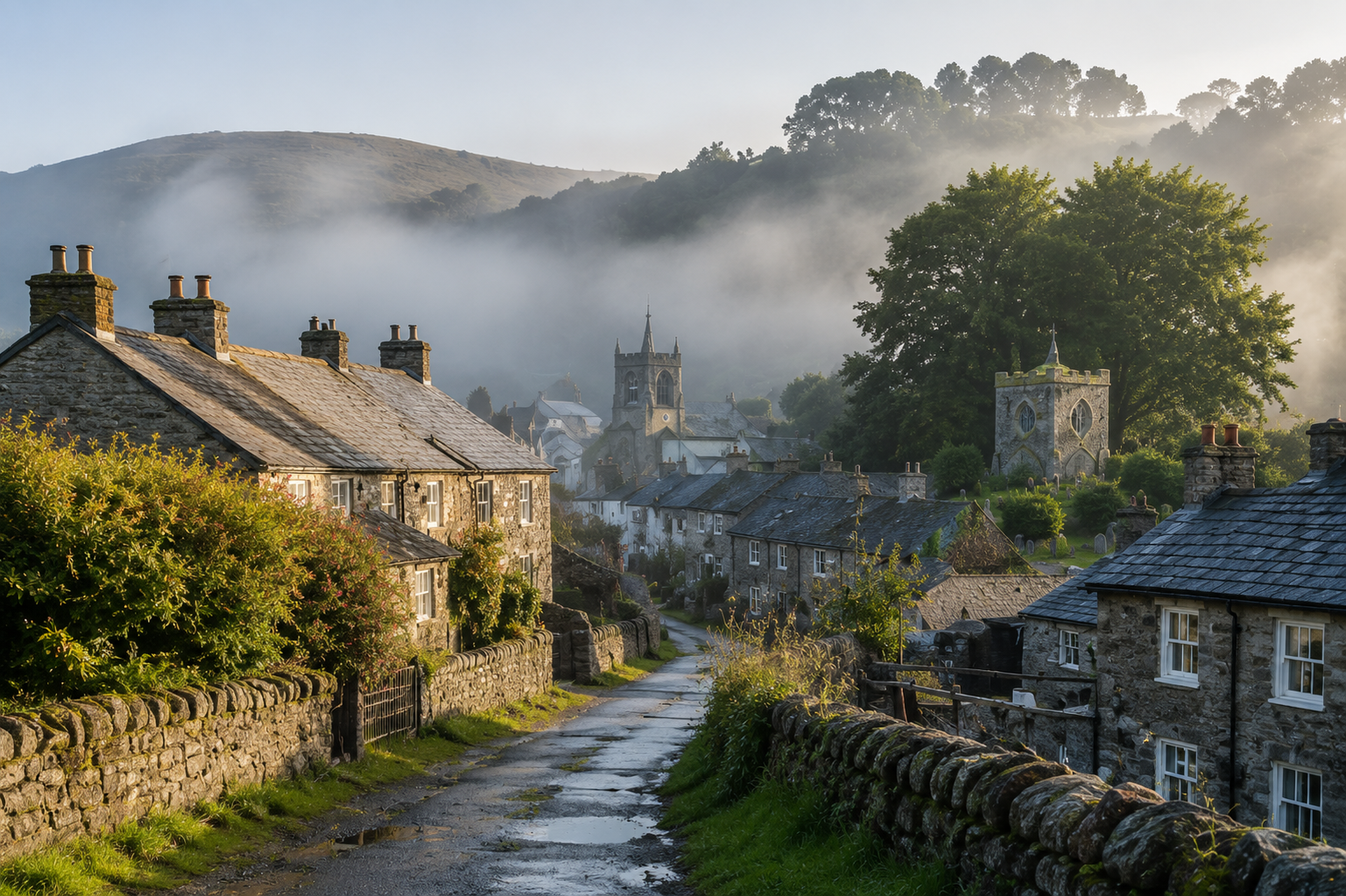
Heading anticlockwise, the coast above Laxey changes character. The cliffs are higher, the wind is more honest, and Maughold Head juts out with its lighthouse perched on a fold of slate. The walk from Port e Vullen up to the headland and back via Maughold village is one of the most underrated short days on the island. Two and a half hours, end to end, with a tea room at the finish.
The Lonan coast between Garwick and Laxey is gentler. You can take it slowly, drop down to Garwick Bay for an hour with a flask, and return to Cotterdale or Onchan well before dusk. Seals show up in the bay in numbers most weeks.
The West: Peel to the Calf
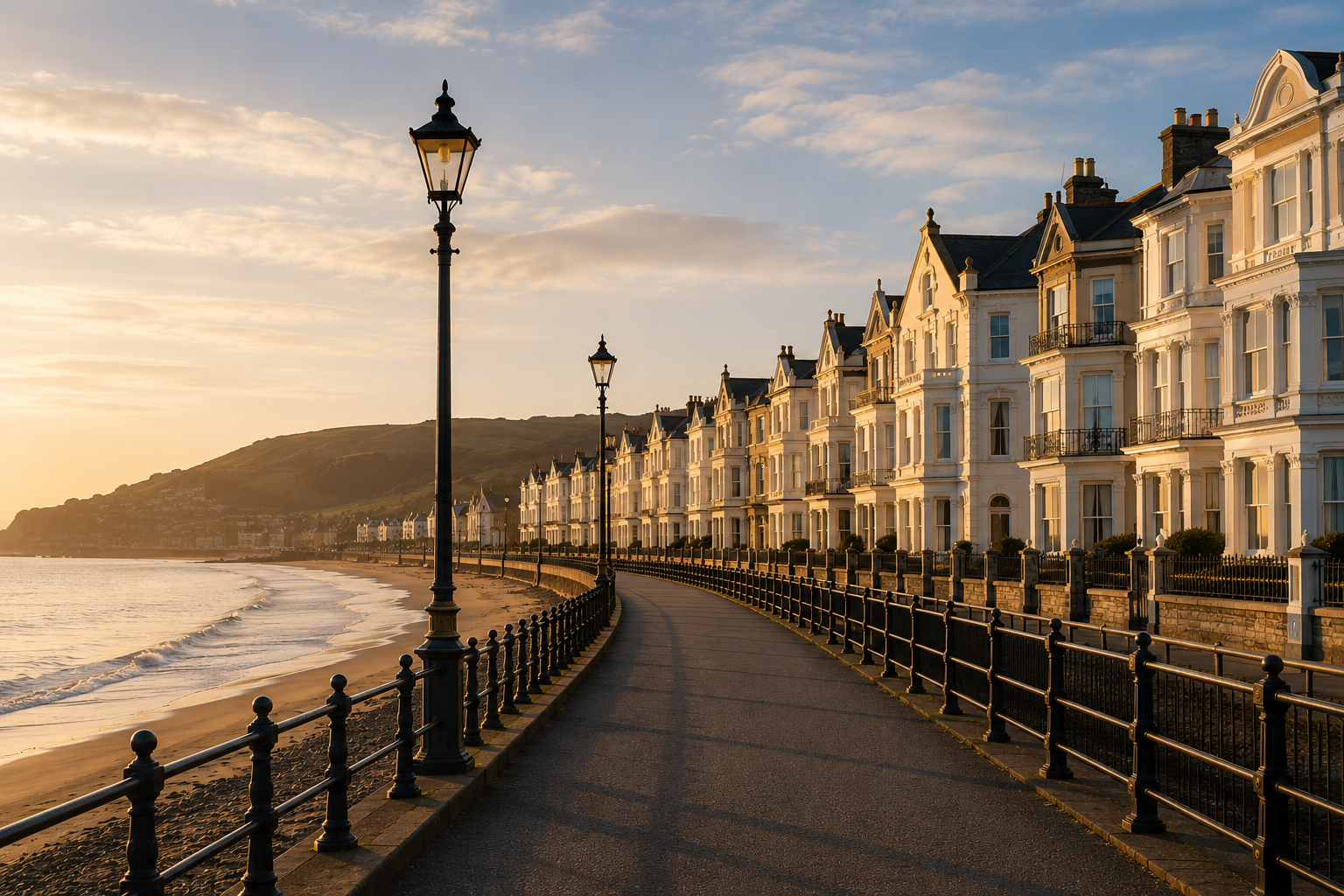
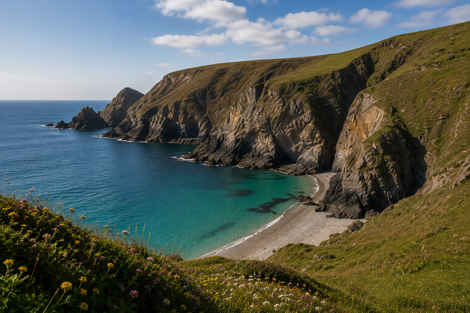
Peel is the small city with the cathedral and the castle on the harbour mound. South of it, the coast tightens. The cliffs above Glen Maye, the descent past the old mine workings, the climb up onto Cronk ny Arrey Laa — this is where the island feels biggest. Visibility plays tricks. On a hazy morning you might think you can see the Mull of Galloway. On a clearer one you can.
The Calf of Man, off the southern tip, is technically separate — a small island bird sanctuary with a boat from Port St Mary in season. Even if you don't make the crossing, the headland walks at the south end of the main island are some of the best in the British Isles, and you can do them as day walks from any base east of Castletown.
How to Read the Tide and the Light
The single biggest mistake visitors make is treating Manx weather like UK weather. The island sits in the middle of the Irish Sea, and conditions change quickly. A cove that is benign at low tide and a particular wind direction can be impassable two hours later. Carry a printed tide table, check the forecast in the morning, and accept that any plan involving a specific beach should have a backup involving high ground.
Get the timing right and the reward is enormous. There are coves on this island where, in May, you can sit for two hours and not see another person. That is not a sentence that can honestly be written about most of Britain in 2026.