The Raad ny Foillan — the Way of the Gull — is a 95-mile waymarked footpath that loops around the entire coast of the Isle of Man. It was opened in 1986 to mark the millennium of Tynwald, the Manx parliament, and it is one of the more underrated long-distance walking routes in the British Isles. Most British walkers have heard of the South West Coast Path and the Pembrokeshire Coast Path. Far fewer have heard of this one, which is part of its appeal.
The whole route can be walked in a fortnight by the fit, or sectioned across multiple visits by the rest of us. A Cotterdale or Onchan base makes the eastern sections immediately accessible. Other sections require either a bus or a sympathetic driver.
The Practical Outline
The path is well-waymarked with a gull symbol on a yellow background. Underfoot it varies from proper cliff-top trail to pavement through Douglas and Castletown to muddy field edges in the agricultural north. It crosses about a dozen public bus stops, which means almost any section can be turned into a linear walk with a return bus to your base.
Sturdy boots are non-negotiable, even in dry weather. Some of the southern cliff sections are exposed, and a slip in trainers would be unpleasant. Standard waterproofs, a printed map, and a phone with a downloaded offline map for backup are sensible. The Ramblers' guide to long-distance UK paths includes useful safety advice that applies here as it does anywhere else on a British coastal route.
The Eastern Sections from a Cotterdale Base
Starting from the Douglas-Onchan area, the path runs north past Groudle Glen, Garwick and Laxey to Maughold Head. This is a full day's walk if you do it in one piece — roughly 14 miles — and it can be broken at Laxey, where the train runs back to Douglas. The section above Laxey, climbing past the famous wheel and onto the cliffs north of the bay, is one of the best on the entire path.
Heading south from Douglas you pass Port Soderick, the small Victorian resort, and then the cliffs above Santon and Port Grenaugh. The terrain is gentler here, the views shorter but pretty. Castletown is the natural lunch stop and the rail terminus is useful for getting back.
The Southern Headlands
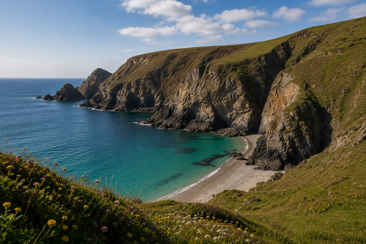
The section from Castletown to Port Erin via Spanish Head and the Calf of Man viewpoints is for many people the single best day on the route. The cliffs are dramatic, the path narrows in places, and the southern end of the island has a different quality of light from the rest of the coast. Allow a full day and don't try to rush.
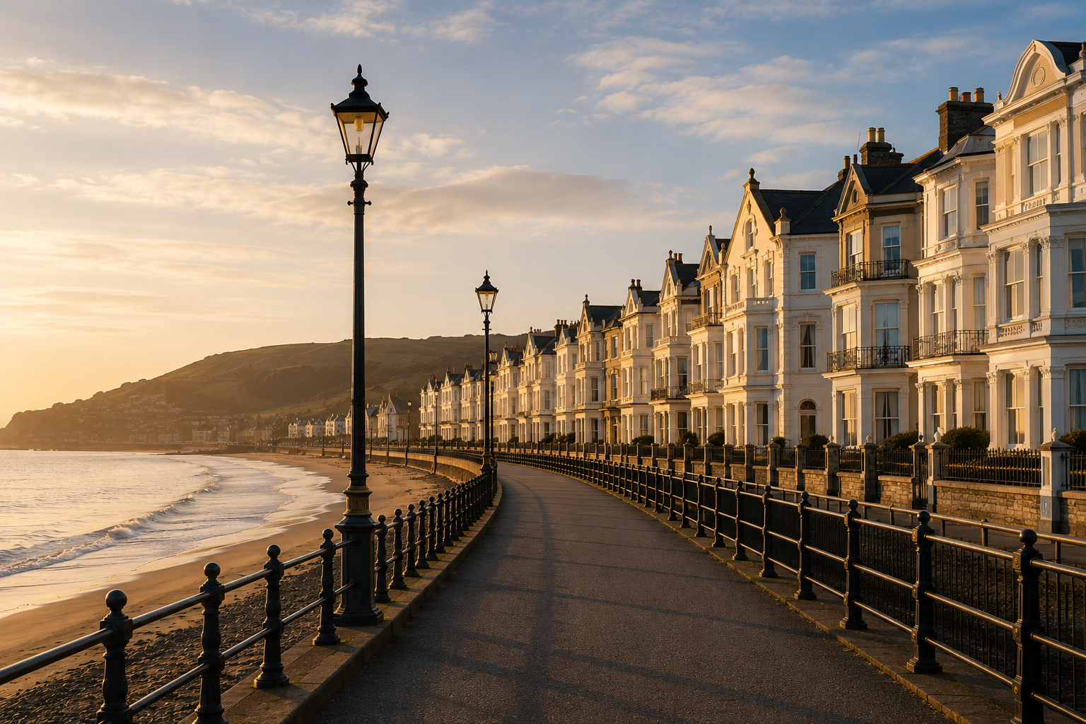
The descent into Port Erin is worth photographing. The bay is a perfect curve, the village backs onto it, and the steam train terminus is a short walk inland. Take the train back to your base and you have done a serious mountain-grade walk with no logistics.
The North: Different Country
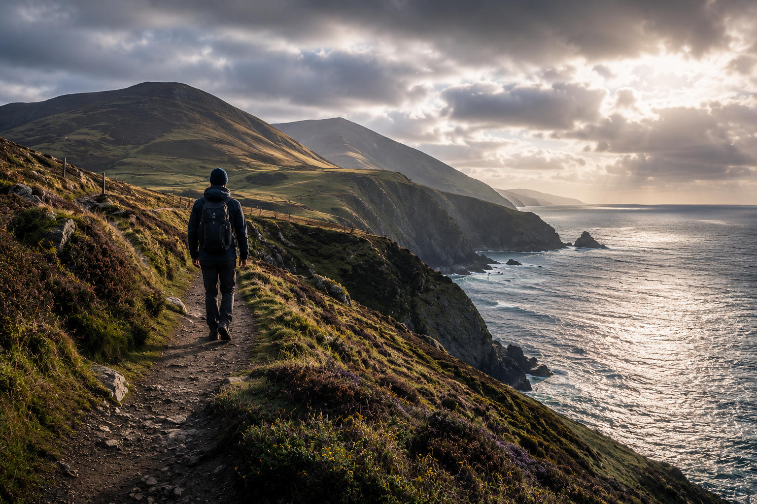
The northern section, from Ramsey out to the Point of Ayre and back down the western shore, is the least photographed and the most demanding to plan. The cliffs flatten into agricultural plain, the views get longer, and the bus service thins out. You either need a car at both ends or an early start and a willingness to walk further than you intended.
The reward is the sense of being entirely alone on a coast in the middle of the Irish Sea. In May we have walked the section from Ramsey to Bride in three hours and seen four other people. None of them were tourists.
How to Pace It
For most readers, the right approach is two or three sections per visit, spread across multiple trips to the island. A week from a Cotterdale apartment gives you the eastern coast comfortably. A second week, perhaps a year later, gives you the south. A third gives you the west and the north. By the end you will have walked the whole island without ever feeling rushed.